Examples of Terrain Representation Formats
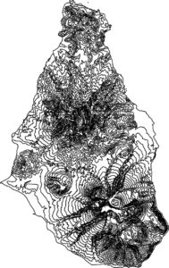
Contours
Contours extracted from the source map and displayed.
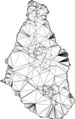
Tin
A Tin model is created using the previously created Contours.
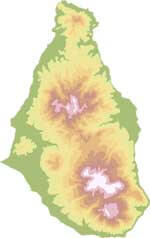
Colored Elevations
The Contour Layer is displayed with color contour representation.
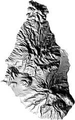
Shaded Relief
A Shaded Relief model is created from the Contour layer.
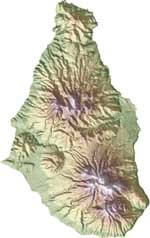
Colored shaded Relief
The Colored Elevation and Shaded Relief layers are combined.
LAND INFO Galleries
- Gallery: 3D Buildings, Trees & Land-Use/Cover (Clutter)
- Gallery: 2D Classification and Object Based Image Analysis
- Gallery: Digital Elevation Models (DEMs)
- Gallery: High and Medium Resolution Satellite Imagery
- Gallery: Geodata for Wireless Telco
- Gallery: 2D Vector Feature Extraction
- 3D Terrain Representation Format Examples
