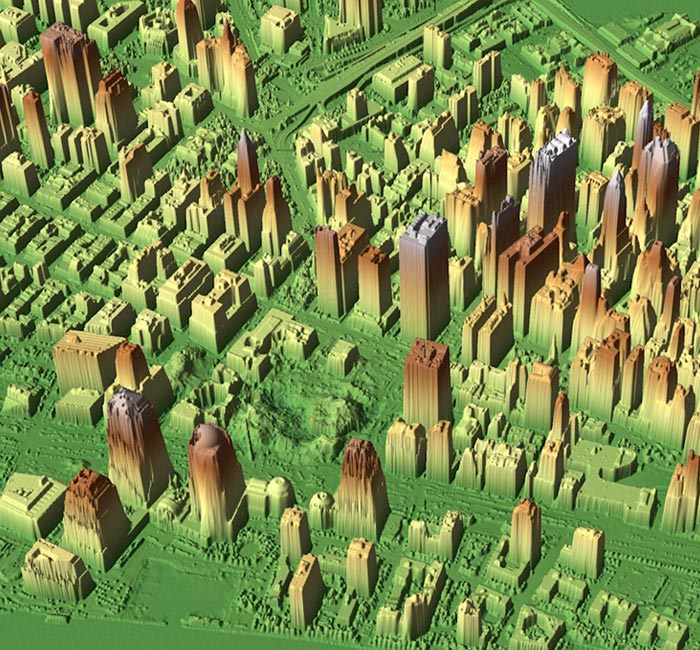
LIDAR-generated 3d image of lower Manhattan
This 3d image of the World Trade Center ruins and surrounding lower Manhattan was generated in late September, 2001, by NOAA (United States National Oceanic and Atmospheric Administration), using aerial photography and LIDAR (Light Detection and Ranging) technology on-board a twin-engine Citation Jet.
The data was used to aid recovery and cleanup efforts, for instance, to locate the safest routes and optimally deploy cranes based on the height of rubble. The precise identification of original foundation support structures, elevator shafts and basement storage areas allowed rescue crews to pinpoint their digging and recovery efforts.

Credit: NOAA/U.S. Army JPSD (Joint Precision Strike Demonstration)
