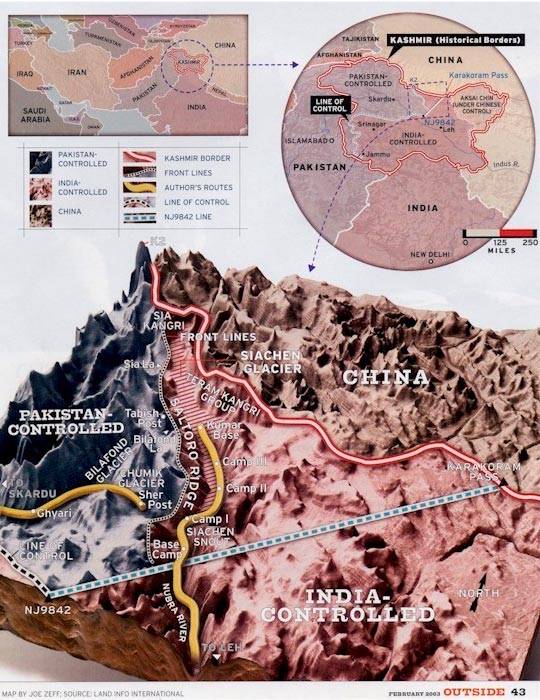
LAND INFO’s Expert Digital Elevation Model: A Special Feature for an Outside Magazine
Digital Elevation Model made by LAND INFO for Outside magazine publication.
LAND INFO Can Turn Your Imagery into Valuable Map Information

Object Based Image Analysis will reduce costs and speed turn-around on your next land-use/land-cover, vegetation, impervious surface or change detection mapping project.
Vector Feature Extraction: accurate extraction of layers such as buildings, hydrology, transportation and other infrastructure.
Contact LAND INFO
For Your Next Mapping Imagery Project
