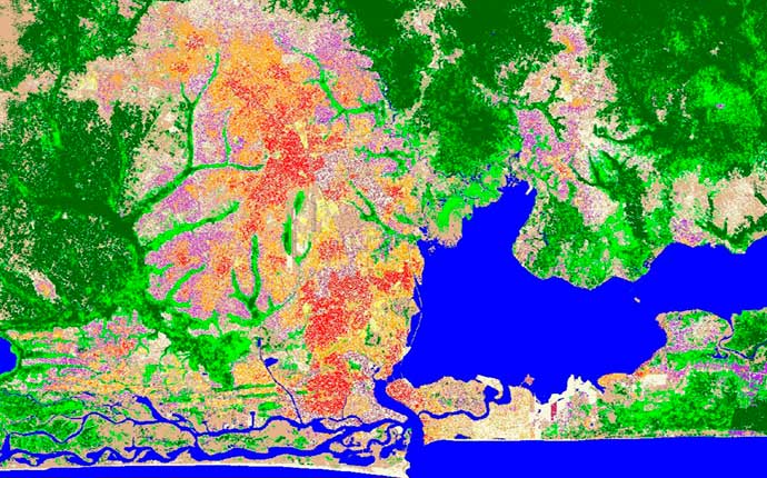
Lagos, Nigeria: object based image analysis of SPOT-5 satellite imagery
LAND INFO Can Turn Your Imagery into Valuable Map Information
- Object Based Image Analysis will reduce costs and speed turn-around on your next land-use/land-cover, vegetation, impervious surface or change detection mapping project.
- Vector Feature Extraction: accurate extraction of layers such as buildings, hydrology, transportation and other infrastructure.
Contact LAND INFO
For Your Next Mapping Imagery Project

Lagos, Nigeria: object based image analysis of SPOT-5 satellite imagery (land-use/land cover).
